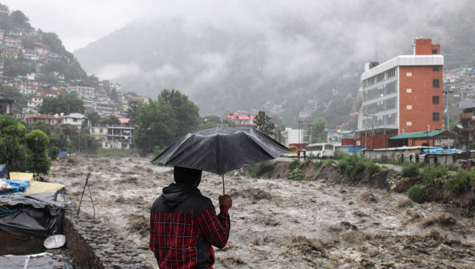
The country is expected to see one of the wettest monsoon seasons in 30 years between July and August of this year, owing to the prolonged period of rainfall. This indicates well for the sowing of kharif crops and for soil moisture in the months that follow.
The amount of rain that has been recorded in India in July and August so far is 585 mm and in the next two days, it is predicted to reach 595 mm, which is around 11% more than the long-term average of 535.4 mm.
This will be on par with the 30 years’ wettest July–August total of 596.1mm, which was recorded in 2019.
After a 9% surplus in July, the country saw above-average rainfall in August. India had received 16% more rain than usual on average this month. IMD predicted August rains to be in the normal range (94-106% of LPA).
Veteran meteorologist and former secretary in the earth sciences ministry, M. Rajeevan said, “Rainfall in August has been beyond expectations. Weather models were predicting a 10 to 14-day weak phase during the month. While rains in central India did see a dip for around two weeks, north and south India continued to receive good rainfall during this period.”
La Nina Effect
The country’s rainiest months are July and August, which together get almost 62% of all rainfall during the June–September monsoon season. Typically, the monsoon fails to perform well during any of these months. When the rain deficit reached 36% in August of last year, the monsoon, for example, failed despite being 13% above average in July.
According to Rajeevan, August’s monsoon surge was caused by vigorous MJO conditions. A stormy weather pulse known as the Madden Julian Oscillation (MJO) travels eastward along the equator and usually returns to the same location every one to three months. The presence of MJO in the Indian Ocean often increases India’s monsoon rainfall. Notably, MJO had also supported the monsoon in July.
Concurrently, La Nina conditions—which were first predicted to arrive around August—may not occur until November, according to the latest projection from US agencies. The forecast also stated that it will likely be brief and weak. La Nina, a cooling of ocean waters in the central and eastern equatorial Pacific, is a further significant weather condition that supports monsoon rainfall in India.
“Ocean temperatures in the Pacific haven’t reached La Nina thresholds but the region remains cooler than usual and this has positively impacted the monsoon in August,” Rajeevan said.
According to an IMD forecast issued on Thursday, the monsoon season is expected to continue to be favourable for the next two weeks.
Cyclone in Arabian Sea?
A rare event, the deep depression presently affecting Kutch and Saurashtra, which has been delivering a lot of rain on Gujarat for the past few days, is expected to move into the Arabian Sea today and strengthen into a cyclone.
There have only been three cyclones in the Arabian Sea in August since 1891, with the last one being in 1976. Winds of up to 75 kmph are predicted along and off the Gujarat coast from Thursday to Saturday, the agency said, even though the storm is projected to continue westward along the coasts of Pakistan and Iran.
The IMD issued a warning that in the next two days, a low-pressure system in the Bay of Bengal is expected to intensify into a depression and proceed towards south Odisha and north Andhra Pradesh.
Also Read: Kenya: Gujarati Billionaire Hasmukh Patel Dies at 58


