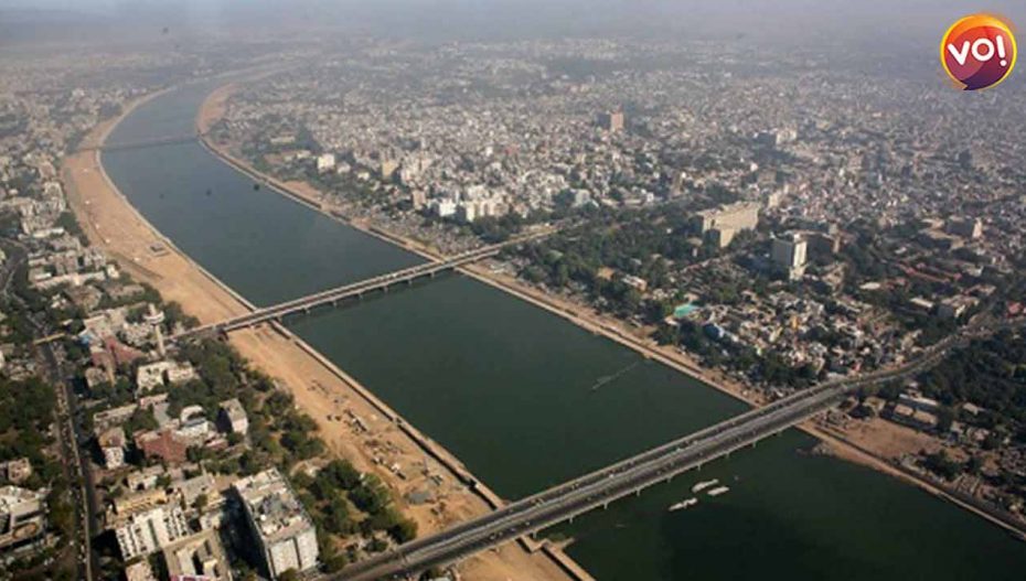
Even though the report on violation of nature and an impending ecological disturbance in Joshimath was tabled in 1976, few took heed till the pilgrimage town nestled in the Himalayas started sinking about five weeks ago.Seems Ahmedabad is headed the same route. In fact, in its report on Gujarat tabled in 2021, ISRO used high-definition images to prove that the state has lost 313 hectares of land due to sea erosion and that erosion is actively leading to land subsidence in 10 out of 16 coastal districts in Gujarat. Metro Ahmedabad too is sinking by 1.25 to 2.5 cm every year, according to the report which pinpoints the blame on rapid urbanisation leading to deforestation, soil erosion and hence triggering climate changes, which in turn contribute to altered land mass activity. According to Ratheesh Ramakrishnan, a contributing scientist at the ISRO Space Applications Center, the report “Shoreline Change Atlas of the Indian Coast: Gujarat, Diu & Daman,” was tabled in August 2021. It tracked changes over the period 2004-06 and 2014-2016 which clearly showed the 1,052 km long coastline of Gujarat being stable, 110 km coast “being cut into” and 49 km coastline rapidly merging into land. The report states that rising sea levels and climate changes are the main reasons behind this. While Gujarat has gained 208 hectares of land due to siltation, the state lost 313 hectares of land due to sea erosion. Another research by geo-informatics researcher Krunal Patel, spanning 42 years, records “highest coastal erosion in Kutch district.” His report also concluded that the 45.9% of Gujarat’s coastal line has been eroded.Patel and others have categorised the Gujarat coast in two risk classes: 785 km fall in high to very high-risk level and 934 km in moderate to low-risk category due to anticipated rise in sea level.According to this research, “Among 16 coastal districts, 10 districts are reported to be suffering from erosion, highest in Kutch, followed by Jamnagar, Bharuch, Valsad. This is because of increasing Sea Surface Temperature (SST). At Gulf of Cambay (Khambhat) it is highest at 1.5°C as recorded over a period of time.”In 1969, Ahmedabad district’s Mandvipura village saw 8000 villagers being rehabilitated because agricultural land and some parts of the village “went under sea water,” remembers Pradyumansinh Chudasama, a social worker and retired government employee.He fears that other villages of Ahmedabad and Bhavnagar district on the west bank of the Gulf of Cambay are equally at risk. These villages include Bavalyari, Rajpur, Mingalpur, Khun, Jhankhi, Rahtalav, Kama Talav, and Navagam. During monsoons, because of floods and sea water, most of these villages are marooned. In South Gujarat, many villages in Valsad and Navsari districts are at risk.If the villages are at risk because of the rising sea, Ahmedabad is at risk of sinking. The Institute of Seismology Research’s scientist Rakesh Dumka’s study has concluded that Ahmedabad is sinking 12 to 25 millimetres annually. The reason is rapid extraction of ground water. According to Dumka, the state and the Ahmedabad Municipal Corporation should ensure a sufficient quantity of surface water and ban the drawing of underground water if it wants to stop the sinking.


