As the world is becoming increasingly aware of global warming and it’s effects on the everyday lives of citizens across the globe, authorities and organisations the world over are putting in their efforts to gather the data through various means so as to enable themselves to find the ways to deal with the crisis.
In one such endeavour, Ahmedabad city will be part of a three-dimensional energy mapping project to calculate the amount of energy the megacity consumes for cooling, lighting and other purposes.

The project which aims at capturing high-resolution georeferenced data with the help of five cameras mounted on a UAV ( Unmanned Aerial Vehicle) has already covered at least 30% of the 503 sq km area under examination. The cameras capture the floor heights, clusters of high and low rise buildings, size of windows, and commercial and residential spaces for a special AI-based photogrammetry software called Bentley ContextCapture to evaluate energy consumption in real-time.
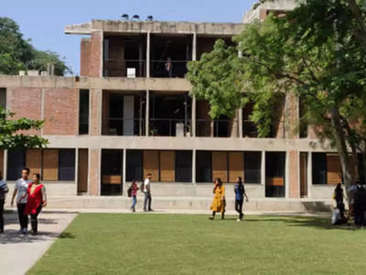
The project is being undertaken by the Centre for Advanced Research in Building Science and Energy ( CARBSE ) at CEPT University and is funded by the Department of Science and Technology (DST) of the Government of India.
The highly granular and precise data in a stiched gather images outcome will help the policymakers to find ways to devising energy-efficient solutions and decarbonisation of cities in future. It will also help in having accurate data about present energy consumption levels and making projections about future requirements. The project will also help policymakers devise strategies to curtail greenhouse emissions and look for energy-efficient solutions with alternative energy innovations.


The project is led by Rajan Rawal, senior advisor at (CARBSE), a CRDF Professor at CEPT and Mona Iyer, the dean of faculty of planning at CEPT.


